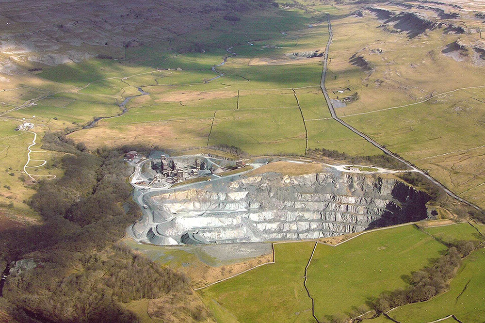
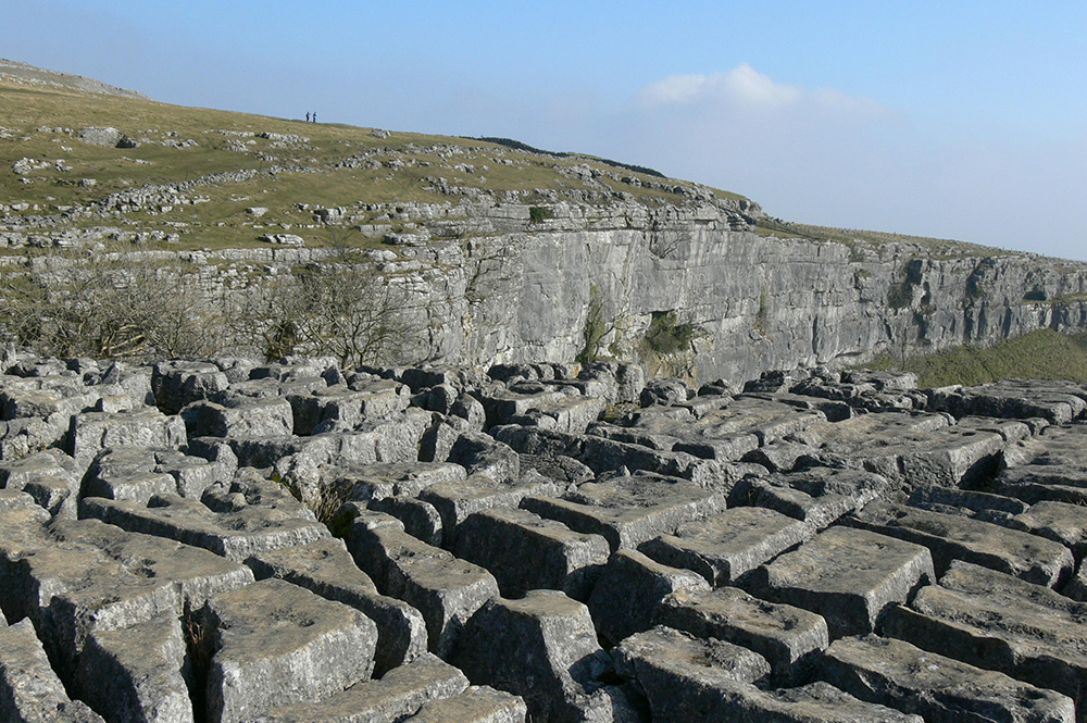
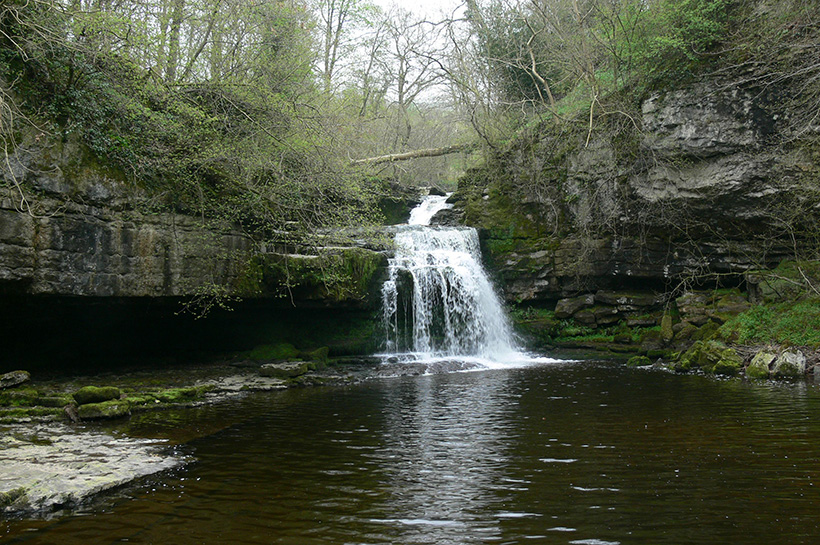
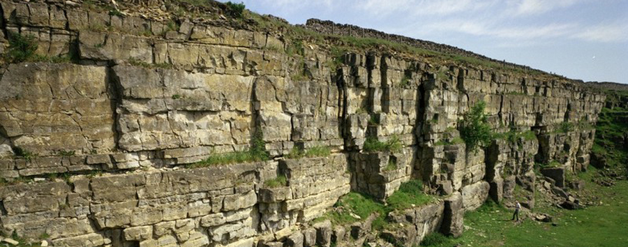
Taking a giant leap forward in time, to between 478,000 and 423,000 years ago (the Anglian glacial period), the whole area was buried in ice. Massive erosion, caused by the movement and melting of the ice, shaped much of the landscape; this sculpting continued during another, more recent (the Devensian), ice age (30,000 to 10,000 years ago).
Little evidence of the Anglian glaciation remains but there are extensive deposits from the Devensian, which have enabled a reconstruction of the complex glacial and post-glacial history of the Vale of York.
| Alluvium | |
| River Terrace Deposits | |
| Peat | |
| Lacustrine Deposits | |
| Glacial Sand and Gravel | |
| Glacial Till |
British Geological Survey 3D Vale of York Model
The British Geological Survey has produced a 3D model of the geology of the York area, a pdf version of which can be downloaded here http://www.bgs.ac.uk/downloads/start.cfm?id=2284. Alternatively, the model may be viewed by downloading the free Lithoframe viewer from the British Geological Survey at http://www.bgs.ac.uk/services/3Dgeology/lithoframeSamples.html.
Superficial geology
The Vale of York model shows the Recent alluvial tracts of the Ouse in the extreme south-west and its tributary the Foss. The Devensian glacial sequence contains interbedded arrangement of outwash glaciofluvial deposits, ponded glaciolacustrine silts and clays and till (Vale of York Till) deposited directly from the icesheet. The Vale of York Till forms the core of the York Moraine, which is a low ridge near the southern end of the model; this moraine, and others in the region, mark positions of prolonged stillstand (or equilibrium) in the position of the margin of the ice-sheet during its overall decay that was completed in this area by about 16 000 years ago. During the glaciation meltwater became ponded at several times in the Vale of York due to ice blocking drainage via the Humber into the North Sea Basin and beyond. At times widespread proglacial lakes developed including Lake Humber and Lake Alne, the two layers of the glaciolacustrine deposits in the model (Alne and Hemingbrough formations) represent phases of these lakes.
Bedrock geology
The bedrock in the area is undifferentiated Triassic Sherwood Sandstone comprising weakly cemented brown sandstones. It is a regionally significant aquifer in the Vale of York as elsewhere in the England and Wales.
