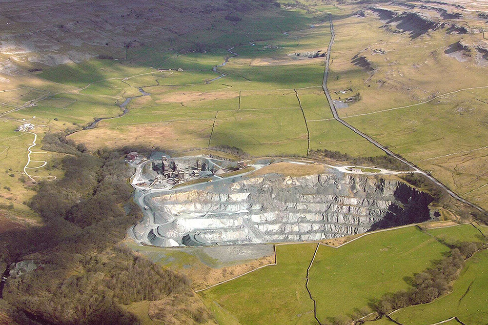
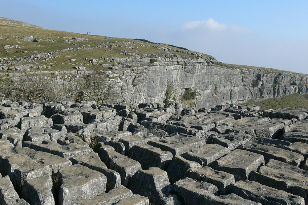
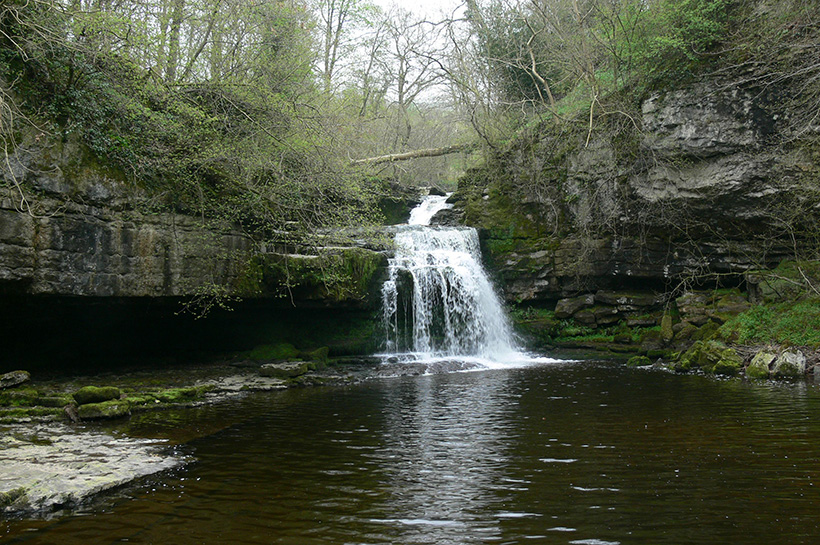
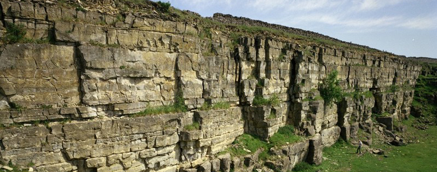
The landscape of the North Yorkshire Geodiversity Partnership Area (NYGP) has a unique character. Much of it results directly from the rocks, the effects of the ice ages and the way people have influenced the land since the ice melted. Millions of years of Earth history have culminated with the landscape we know today. The rocks tell a story of the evolution of the areas from deep oceans, through tropical seas, swamps and tropical forests. The most recent times have culminated with the ice-ages and erosion to form the present day landscape. A vertical geological section through all the rocks of the area shows a series of geological sequences separated by unconformities that illustrate intervals of earth movements, mountain building and considerable erosion.
Hierarchically, the British Geological Survey sub-divide geological strata into supergroups (e.g. Windermere Supergroup), groups (e.g. Dent Group), formations (e.g. Sowerthwaite Formation), and members (e.g. Dam House Bridge Tuffs Member).
In very general terms the geology of the NYGP area comprises a range of sedimentary rocks that slope gently to the east so that the oldest rocks, exposed in the Craven inliers, are present in the west, and the youngest in the east. The Precambrian Ingleton Group, over 500 million years old, is the oldest sequence and forms the ancient roots of the area. The succeeding strata are missing, as this basement sequence was folded and eroded before it was overlain by the late Ordovician and Silurian rocks (the Windermere Supergroup) that represent a deep ocean basin. These were deposited over a time interval that spanned 446-420 million years ago. The late Silurian and Devonian saw a major mountain building interval (the Caledonian), which folded the Ordovician and Silurian rocks, and intruded the Wensleydale Granite. They were then subjected to extreme erosion that wore them down almost to sea level (peneplanation). Ancient continental drift powered the ocean development and the mountain building, it also moved continents, so that by the start of the Carboniferous Period some 354 million years ago the area lay in tropical latitudes. Shallow sea water lapped over the worn-down Silurian and Ordovician rocks and limestones with fringing reefs developed. Later the sea was swamped with fluvial deltaic outwash and the area became a swamp that was periodically flooded. More mountain building (Variscan) and another break in the sequence occurred before the Permian tropical seas developed to the west and east of the Pennines, and the Magnesian Limestone sequence was deposited.
After the Permian, the Dales were probably buried beneath much younger rocks, but these have all been eroded away. They are, however, exposed further east where Triassic rocks (248-205 million years old) form the low-lying Vale of York, and Jurassic rocks (205-140 million years old) the North York Moors and Howardian Hills. After the Jurassic, the sequence is again broken by erosion, and deposition is only resumed in the Quaternary, with the glacial and meltwater deposits of the Ice Ages (the Pleistocene), half a million right up to around 10,000 years ago. Alluvium along river flood plains is the most widespread of the more recent deposits.
| Period | Group |
| Jurassic | Corallian Group |
| Ravenscar Group | |
| Lias Group | |
| Triassic | Penarth Group |
| Mercia Mudstone Group | |
| Sherwood Sandstone Group | |
| Permian | Zechstein Group |
| Unconformity | |
| Appleby Group | |
| Unconformity | |
| Carboniferous | Warwickshire Group |
| Unconformity | |
| Pennine Coal Measures Group | |
| Millstone Grit Group | |
| Yoredale Group | |
| Great Scar Limestone Group | |
| Craven Group | |
| Bowland High Group | |
| Ravenstonedale Group | |
| Devonian | Unconformity |
| Upper Old Red Sandstone Group | |
| Unconformity | |
| Silurian | Windermere Supergroup |
| Ordovician | |
| Cambrian | Unconformity |
| Precambrian | Ingleton Group |
| Alluvium | |
| River Terrace Deposits | |
| Peat | |
| Lacustrine Deposits | |
| Glacial Sand and Gravel | |
| Glacial Till |
Click on the map to show the bedrock or superficial geology. The map will automatically change from 1;625,000 scale to 1:50,000 scale when the map is zoomed in.
