


![]() Throughout the country professional and amateur geologists have joined together to form geoconservation groups. The North Yorkshire Geodiversity Partnership is a RIGS (Regionally Important Geological Sites) group, affiliated to GeoConservationUK, the national Association of RIGS Groups. It is also the steering group for the North Yorkshire Local Geological Sites Panel, which assesses the suitability of proposed sites for designation as Local Geological Sites (formerly known as RIGS).
Throughout the country professional and amateur geologists have joined together to form geoconservation groups. The North Yorkshire Geodiversity Partnership is a RIGS (Regionally Important Geological Sites) group, affiliated to GeoConservationUK, the national Association of RIGS Groups. It is also the steering group for the North Yorkshire Local Geological Sites Panel, which assesses the suitability of proposed sites for designation as Local Geological Sites (formerly known as RIGS).
The NYGP was formed in 2005 and, initially, included representatives of the British Geological Survey, Hanson, Harrogate Borough Council, Natural England, Nidderdale Area of Outstanding Natural Beauty, North Yorkshire County Council, Tarmac and the Yorkshire Dales National Park Authority, together with a small group of volunteers. The British Cave Research Association, and the University of Leeds joined the Partnership in 2006, and the Yorkshire Dales Millennium Trust in 2010. In 2014, the decision was made that the volunteer base of the Partnership would form the Yorkshire Dales and Vales Geology Trust.
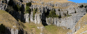
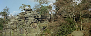
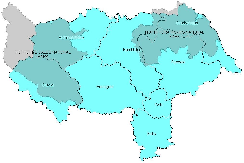 The NYGP’s geographical area of work covers the whole of North Yorkshire, and includes the Yorkshire Dales and North York Moors National Parks, the Howardian Hills Area of Outstanding Natural Beauty, the Nidderdale Area of Outstanding Natural Beauty, and the northern part of the Forest of Bowland Area of Outstanding Natural Beauty.
Our aims are to:
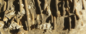
- record and, where practicable, conserve and enhance geodiversity within the Partnership Area
- increase public awareness of, and involvement with, geodiversity, and
- contribute to the conservation of geodiversity at a national scale.